Raster
Advertisement
Live DXF2BMP v.1.0
Live DXF2BMP is free software that converts CAD generated drawing to raster image; drawings can be generated by any CAD program that support DXF format such as AutoCAD.
Advertisement
FreeView v.10 3
Geomatica FreeView is a flexible data viewing tool supporting over 100 raster and vector formats for loading, viewing, selection, and enhancement. FreeView is useful for any geospatial data viewing application, and is freely distributable.
Geomatica FreeView v.9. 1. 2005
Geomatica FreeView is a flexible data viewing tool supporting over 100 raster and vector formats for loading, viewing, selection, and enhancement. FreeView is useful for any geospatial data viewing application, and is freely distributable.

Pixelitor v.0.9.16
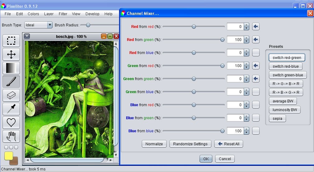
Pixelitor is a handy and quite useful raster graphics editor that will help you customize your images fast and easy.
NKPaint v.1 1
This project was registered on SourceForge.net on Jan 13, 2009, and is described by the project team as follows: NKPaint is a raster image editing application. It is written in C/C and is based on CxImage/GDI . It is similar to Microsoft Paint.

OkMap v.8.9.2
OkMap is a software that works with vectorial and raster maps that you have bought or scanned. OkMap lets you organize paths by creating waypoints, routes and tracks, and upload/download data to/from your GPS. OkMap supports GPS real-time navigation.

AvisMap Free Viewer
The free AvisMap Viewer opens most GIS/CAD and raster image file types and most ArcView, ArcExplorer, and MapInfo projects. Besides just opening and viewing files, the Viewer supports an extensive list of features including visual layer properties

RopTest
Program for visual selection of Ternary Raster Operation code. The program represents all 256 results of the BitBlt function for all possible options for raster operation codes, allows you to visually choose the combination and copies its code to the
C-GEO v.8.4.7.5
If you need to import survey data from your geodetic instruments, then C-Geo is the application to do just that. You can also edit vector and raster maps as this application is able to perform CAD functions as well.
AFPL Ghostscript v.8 54
Ghostscript is the name of a set of software that provides: An interpreter for the PostScript (TM) language, with the ability to convert PostScript language files to many raster formats, view them on displays, and print them on printers that don't ha
EDA v.6. 3. 2024
EDA is a drawing archive. An archive is a database that holds references to drawings, attributes and linked data. EDA collects and organizes drawings.